Open Street Map
Open Street Map lets you show places on a map with a marker.
Configure map
If you do not know the coordinates of the position, you can proceed as follows.
- Open the openstreetmap.org page and navigate to the position you want to display with a marker.
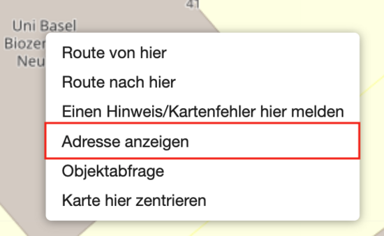
- Go to the position with the mouse and open the context menu (right click).
- Select the option Show address. If not already open, a window will open on the left in which the coordinates are displayed - see Figure 1.
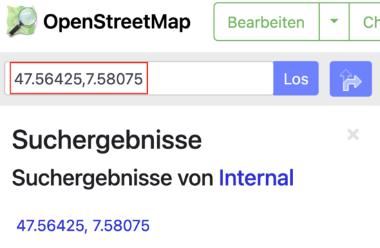
- You will now find the coordinates in two places: in the search field at the top (directly below OSM logo) and below the title Search results - see image 2.
- Now paste the larger number into the Latitude field and the smaller number into the Longitude field.


More configurations

Configurations for Open Street Map
The Open Street Map content element has additional setting options. It is possible to define the width and the height of the display.
The width is specified in percent (ratio to the width) and the height in pixels. By default, width is set to 100% and length to 350px. We recommend you to find out by trial and error which are the best values. Width is calculated based on the grid element and adjusted accordingly.
Example Open Street Map
For example, the Open Street Map content element can be used as an alternative to Framed Box.
Location IT-Services
IT Services
Spitalstrasse 41, 3rd floor
CH-4056 Basel
Phone +41 61 207 14 11
E-mail